


Last updated on 2025-11-05
Distance: approx. 4.1 km
Elevation change: approx. –18 m
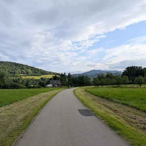
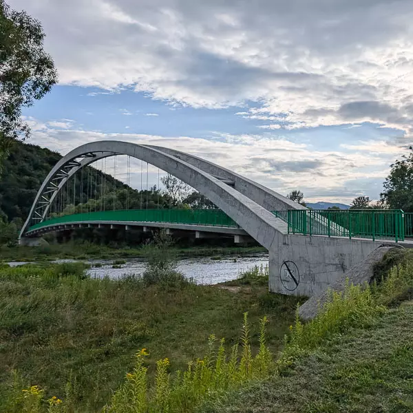
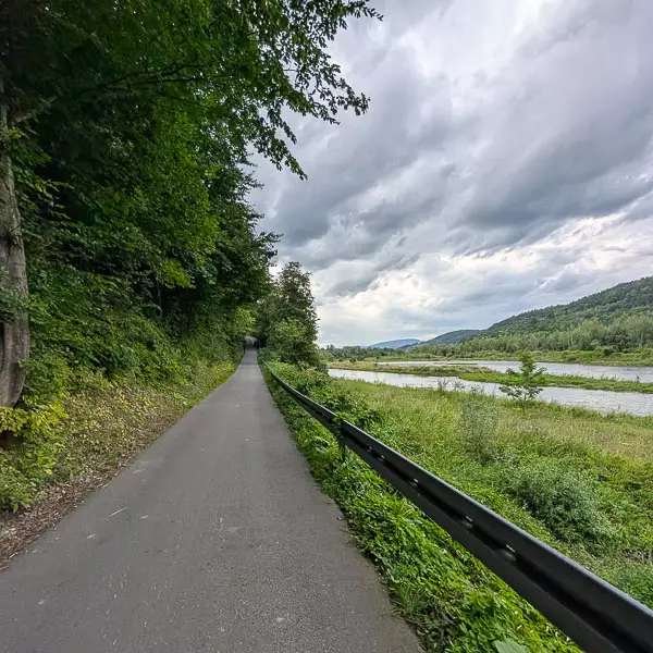
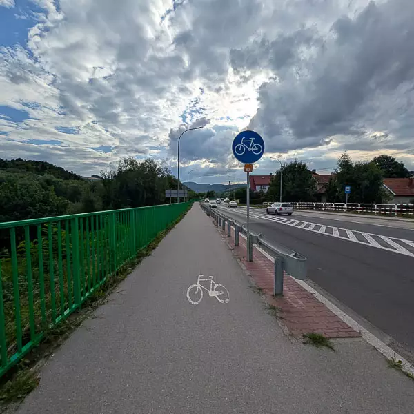
We start at the footbridge over the Dunajec River in Tylmanowa. We ride towards the bridge, following the cycling path running alongside the road. After about 2.8 km, we reach the main road, cross it, and continue along a dedicated asphalt cycling route towards the bridge. We pass under the bridge and then take a small asphalt lane leading to its entrance. We cross the Dunajec and arrive on the right bank in Zabrzeż.
Distance: approx. 2.7 km
Elevation change: approx. –18 m
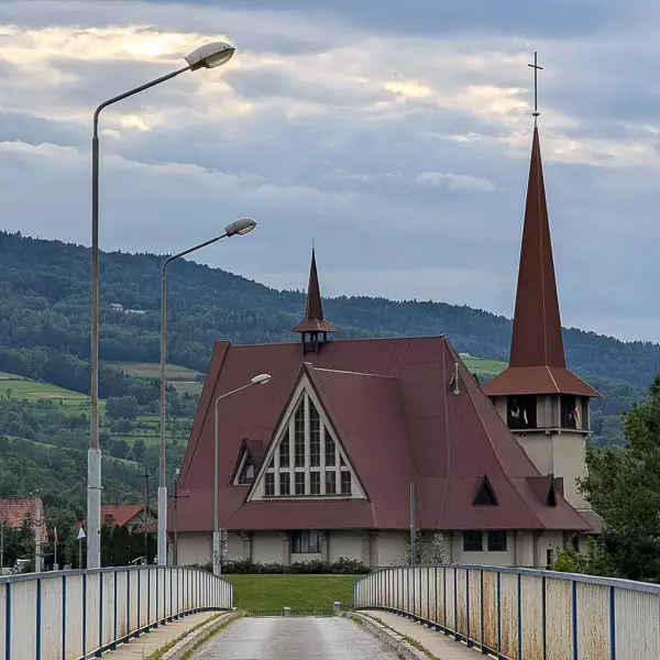
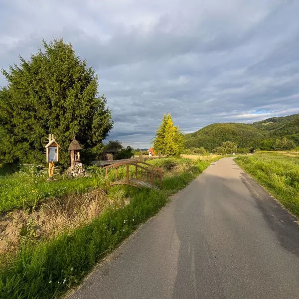
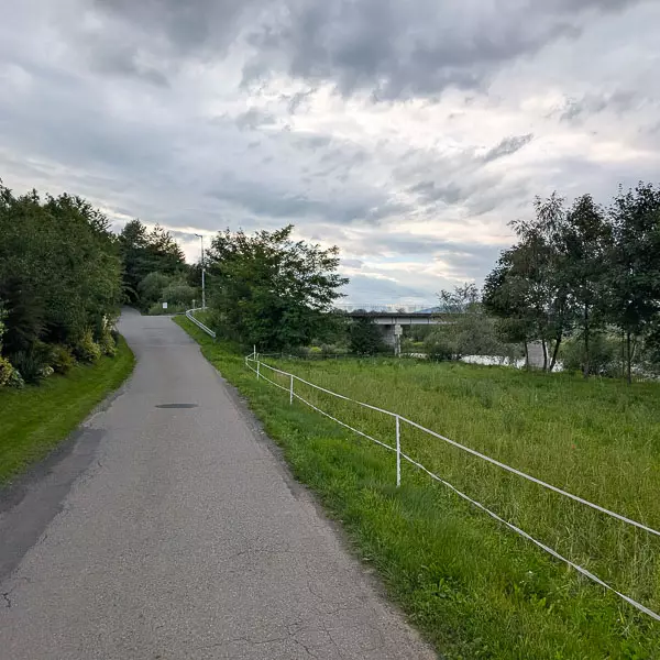
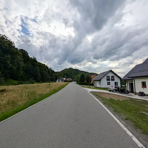
We start from the bridge in Zabrzeż and follow the public road through the village of Zarzecze. The route runs along the right bank of the Dunajec, with little car traffic. We follow the Velo Dunajec signs all the way. After passing the last houses, we reach the footbridge in Łącko and cross to the left bank of the river.
Distance: approx. 3.8 km
Elevation change: approx. –15 m
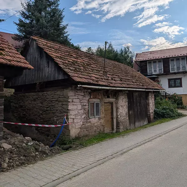
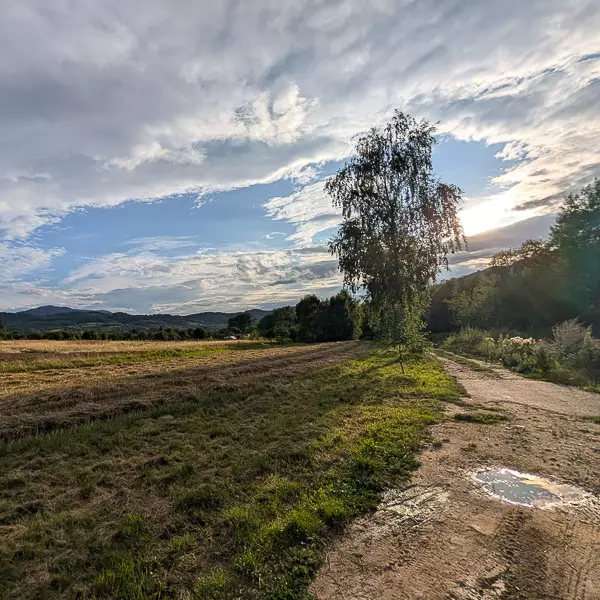
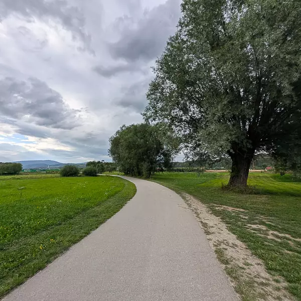
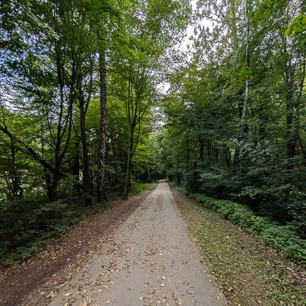
After crossing the footbridge in Łącko, we continue on a flat pedestrian and cycling path along the Dunajec. After 2.6 km, on the left-hand side, we pass a riverside recreation area. We keep riding towards Maszkowice until we reach the bridge over the Dunajec, marking the end of this section.
Distance: approx. 3.8 km
Elevation change: approx. +28 m / –44 m
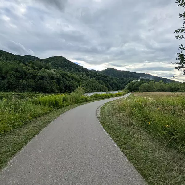
We set off from the bridge in Maszkowice towards Jazowsko. First, we tackle a long, winding ascent, then descend quickly and steeply towards the Dunajec. We continue along a local road leading to Jazowsko and reach the bridge across the river.
Distance: approx. 2.5 km
Elevation change: approx. –10 m
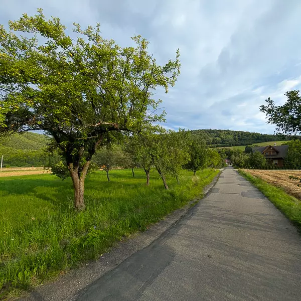
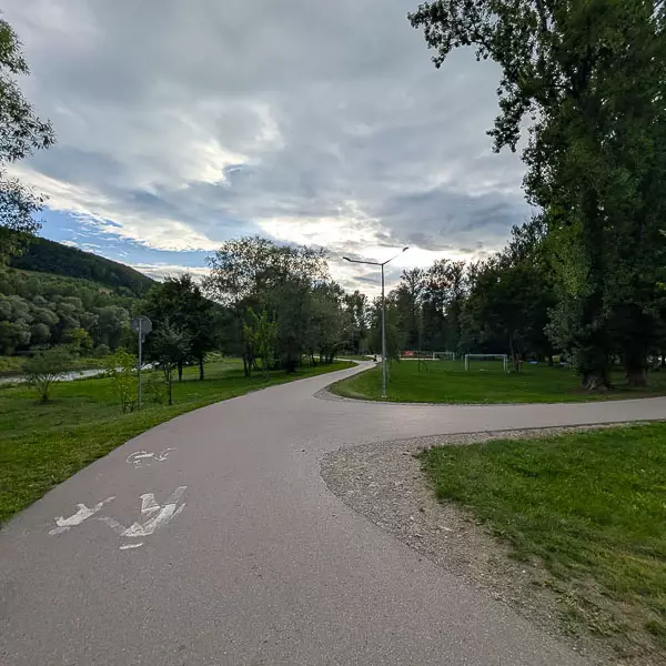
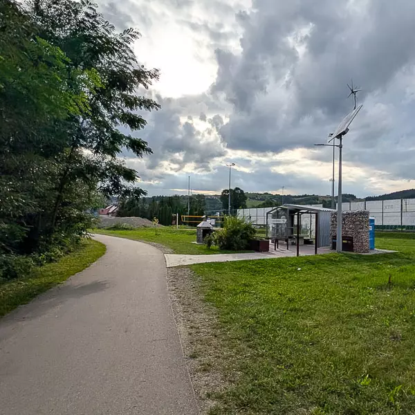
We start at the bridge in Jazowsko. Following the Velo Dunajec pedestrian and cycling route along the river, we pass the Orlik Jazowsko sports field and the official Cyclists’ Service Point (MOR). After about 300 metres, the path joins the public road. We continue on a flat section towards Kadcza until we reach the road bridge, where the route ends.
-2025-08-29-10-56-27.webp)
-2025-08-29-10-44-55.svg)
-2025-08-29-10-44-55.svg)